Español
 English
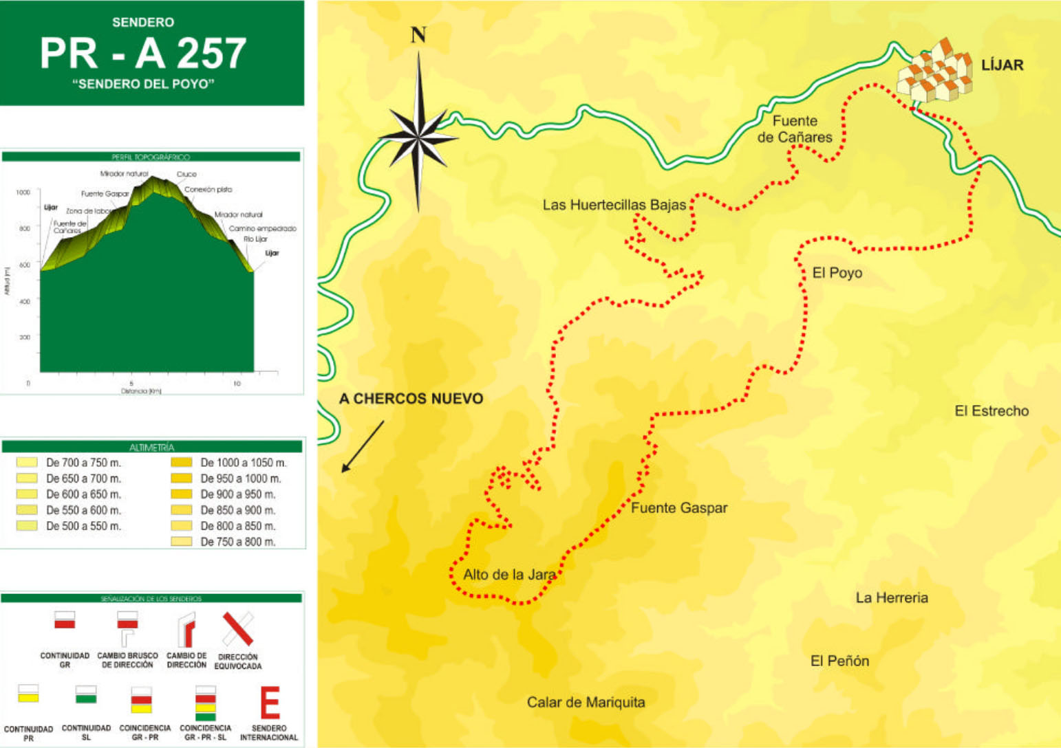
The Del Poyo Trail – PR-A 257 trail begins at the bridge over the Tahalí river, at the exit of the town of Líjar. Take a path next to the riverbed in the direction of the Fuente de los Cañares, cross an area of great beauty, with abundant vegetation and where there are some farmhouses with their orchards and cattle, the Huertecillas Bajas.
It comes to the exit of a small gorge where there is a crossroads; to the right, the one that will lead, after a pronounced slope, to the return road to the town; the circular route continues to the left, first passing through a farm area near the place called El Castillico.
It passes near the Cueva del Moro, where it was once the Fuente de Gaspar (farmhouse in ruins) and through various corners of interest due to its surroundings and landscape. The path heads up a continuous slope to a natural viewpoint at an altitude of 985 m, where the descent begins in search of the town.
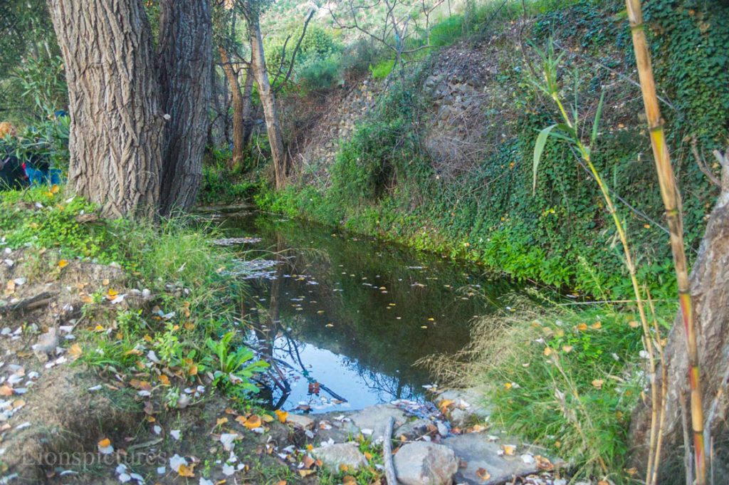
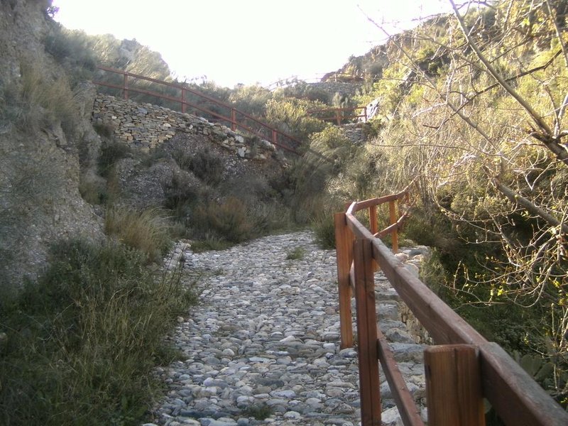
Photo: Lionspictures 2018
After starting the descent, you come to a crossroads in a hill, one goes towards the town of Cóbdar, the other towards a marble quarry, continue along the main path. From this point the view of both slopes is impressive.
During the descent you can see, at various times, the town of Líjar.
Near the end of the route, cross the road and come to a cobbled path that will lead you back to the bed of the Tahalí river. From here you can connect to the bridge or go into the town.
Poyo Trail – PR-A 257
Length: 11.7km
Year of Homologation: 2002