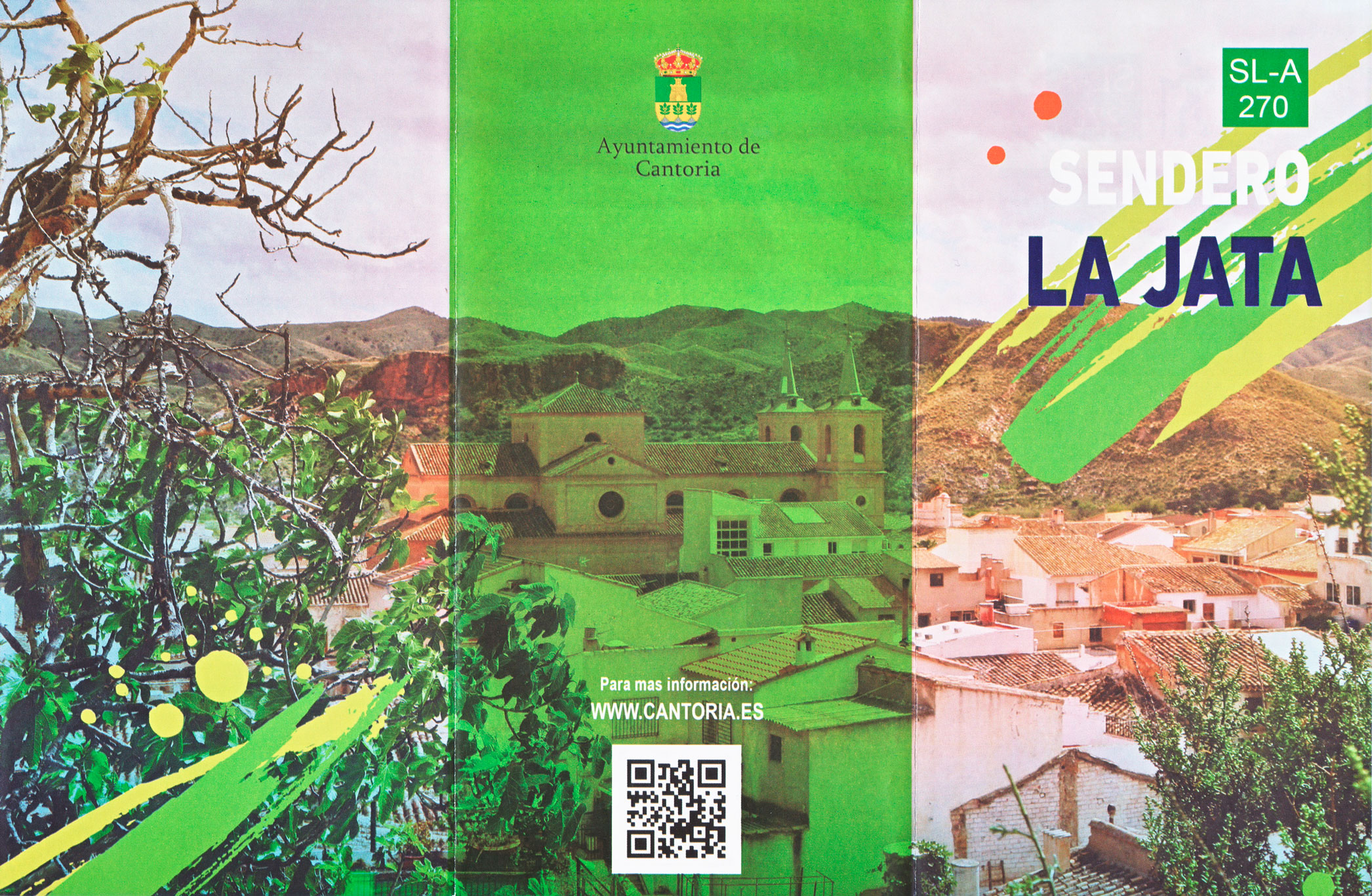
Español
 English
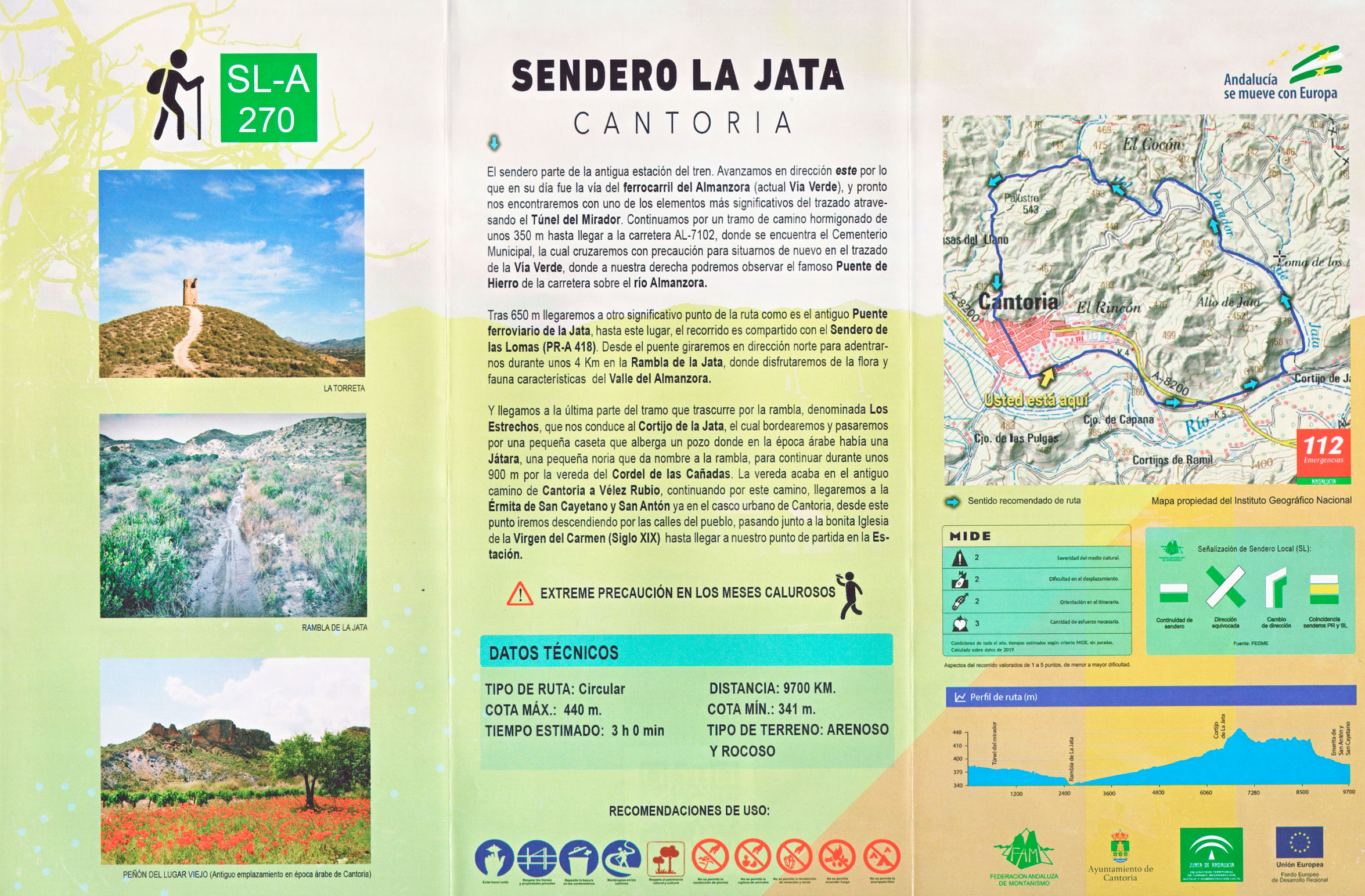
The trail starts at the old train station. We advance in an easterly direction along what was once the Almanzora railroad line (now the Vía Verde), and soon we will come across one of the most significant elements of the route, crossing the Túnel del Mirador. We continue along a stretch of concrete road for about 350 m until we reach the AL-7102 road, where the Municipal Cemetery is located, which we will cross with caution to get back on the route of the Greenway, where on our right we can see the famous Iron Bridge of the road over the Almanzora River.
After 650 m we will arrive at another significant point of the route as it is the old railway bridge of the Jata, up to this place, the route is shared with the Sendero de las Lomas (PR-A 418). From the bridge we will turn north to enter for about 4 km in the Rambla de la Jata, where we will enjoy the flora and fauna characteristic of the Almanzora Valley.
And we reach the last part of the section that runs along the wadi, called Los Estrechos, which leads us to the Cortijo de la Jata, which we will border and pass by a small hut that houses a well where in Arab times there was a Játara, a small waterwheel that gives its name to the wadi, to continue for about 900 m along the path of the Cordel de las Cañadas. The path ends in the old road from Cantoria to Vélez Rubio, continuing along this road, we will arrive at the Hermitage of San Cayetano and San Antón already in the urban area of Cantoria, from this point we will go down the streets of the town, passing by the beautiful Church of the Virgen del Carmen (XIX Century) until we arrive at our starting point in the Station.