Español
 English
Author: marnau
Powered by Wikiloc
Escarihuelas, Carihuela, Carrigüela, etc. They derive from the word “escaleruela”, and refer to the path in the form of a staircase to save a gap.
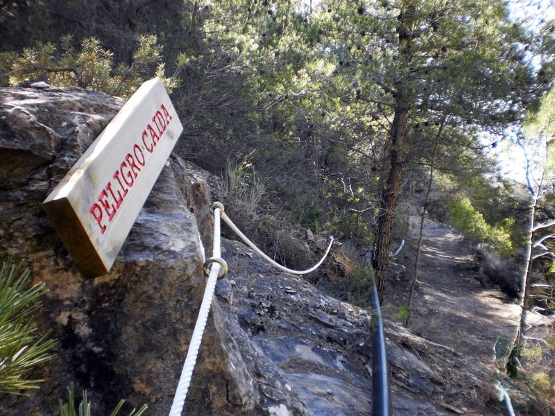
We start the route at the entrance to Urrácal, next to the trail information panels, and we do it contrary to what the panel recommends in order to go more safely through the ravine that gives its name to the route, compared to the option of doing it in descending sense.
So, we enter the main street, passing the laundry, to the church square. Some indicators on the facades of the houses indicate the street we must take.
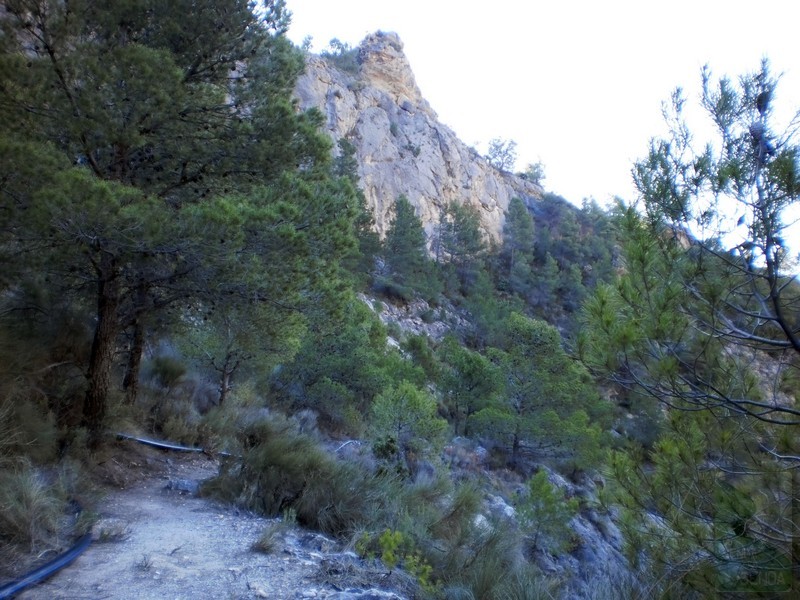
We pass the school and begin the ascent to the “Balsa de Arriba”, once we have passed the beacons, they lead us up a hill until we take the old bridle path through the interior of La Escarihuela, a hidden surprise that will amaze us at every step. surrounded by high walls, vegetation and silence.
From time to time we can look back to contemplate the views of the Sierra de los Filabres on the other side of the valley, framed by the walls of the ravine through which we are passing.
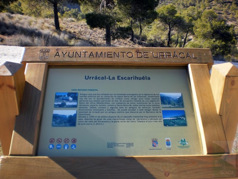
Throughout this stretch we follow a water channeling tube that we will sometimes have to avoid, until we reach the well from which it starts and where a wide path begins that leads us to the forest track. Once there, we continue to the right and arrive at the Forest House, where we can make a stop and replenish water in the fountain below.
We return to the forest track, which now begins to descend, and we pass the path that goes up to the top of Talavera. After several kilometers we pass to the sunny side of the mountain, where the viewpoint of the Cerrada de Maimón deserves a new stop, and we descend towards Urrácal contemplating the views of the Almanzora Valley and the Sierra de los Filabres.
We finally reach the town along a stretch shared with the Los Molinos path (PR-A 300).