 Español
 English
LOCALIZATION

Olula del Río, Almería
Municipalities: Olula del Río
Lenght: 1,60 km.
Municipalities: Olula del Río
Lenght: 1,60 km.
User profile:


Level of accessibility: No Information
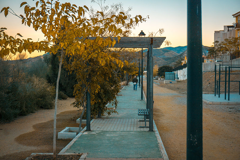
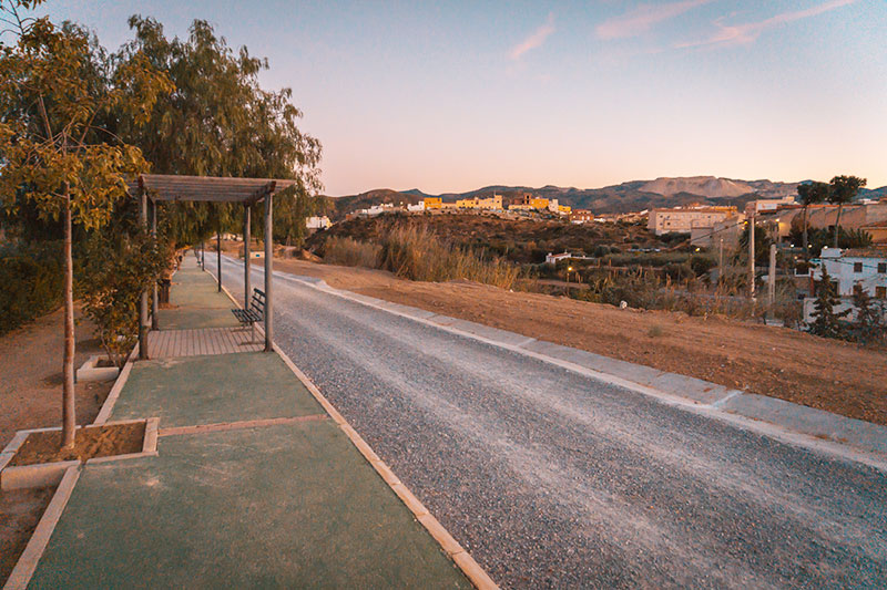
Type of road: Asfalt
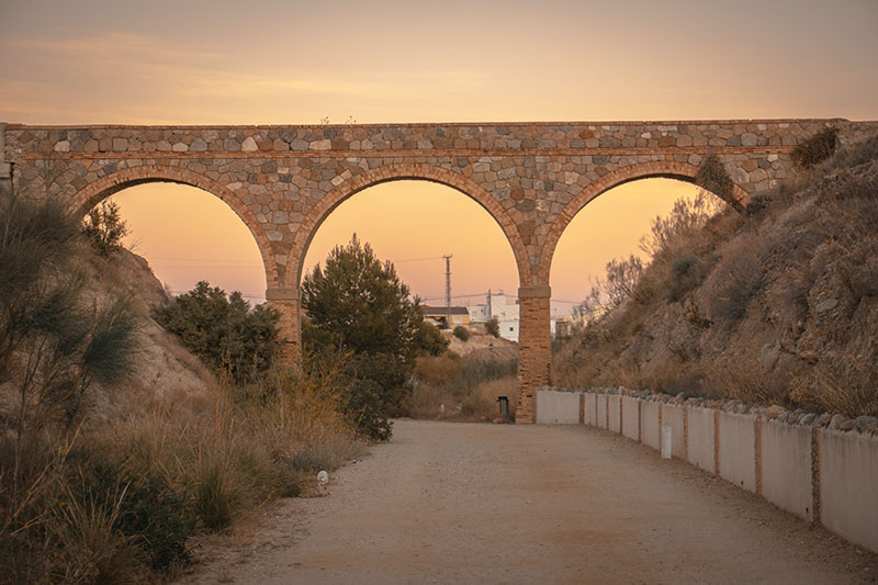
Natural Environment: Sierras de Las Estancias and Los Filabres (marble deposits) with bushes that abound is esparto, bojas, rosemary, thyme, broom, lavender, thistles, ventisco and albaida
Natural Environment: Sierras de Las Estancias and Los Filabres (marble deposits) with bushes that abound is esparto, bojas, rosemary, thyme, broom, lavender, thistles, ventisco and albaida
Infrastructure: Green Way
How to get: in car: If you access by car, there are the following accesses:
Multiple accesses from the urban core, through the streets of Triana, Azahara, Ecuador and Venice I and II. Itinerary that borders the urban nucleus and that is parallel to the A-334 road. GPS coordinates (decimal format): 37.360382 °, -2.298387 °
Bus. Alsa company: Mojácar-Granada lines
Conexions:
Almería: 82 Kms. until Olula
Granada: 152 Kms. until Olula
Murcia: 150 Kms. until Olula
Granada: 152 Kms. until Olula
Murcia: 150 Kms. until Olula
Ente Manager of the Greenway:
Ayuntamiento de Olula del Río. 950.441.000
Plaza de España, 1. Olula del Río. Almería-04860
Powered by Wikiloc
